247-25-000093-A; ODOT Lava Butte Trail Remand
Proposal Summary
ODOT requests the County review its prior record (ref. file no. 247-23-000302-DR), adopt adequate findings that ODOT’s application does not constitute a collateral attack on the 1999 Weigh Station Decision, and issue a final decision that the Subject Property is zoned RR-10 on which the Lava Butte Path may be constructed.
Location
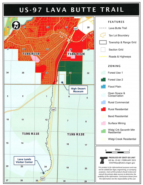
- Oregon Department of Transportation (ODOT) Highway 97 right-of-way located in Township 18S, Range 12E, Sections 19, 30, & 31 and Township 18S, Range 11E, Section 36 (see location map).
- 59800 HWY 97, BEND, OR 97702 / Map and Taxlot: 1811000001900
Note: The County does not have land use review authority on federal lands. The southern extent of the proposed multi-use path continues onto Deschutes National Forest lands on the west side of Highway 97.
Proposal Status
A Hearings Officer hearing was held on March 18, 2025. The record was reopened to accept testimony at the hearing and re-closed at the close of the hearing. The Hearings Officer's decision became the final decision of the County on May 15, 2025 after the Board of County Commissioners declined review of the Hearings Officer's decision.
The Hearings Officer found the Applicant’s request for a Declaratory Ruling that Parcel 1 is zoned RR-10 does not amount to a collateral attack on the Weigh Station Decision and, therefore, that the finding in the Weigh Station Decision that Parcel 1 is zoned F-2 is not binding in this proceeding.
Staff Contact
Caroline House, Senior Planner
Email: Caroline.House@deschutes.org
Phone: (541) 388-6667